Event List
|
Muddy Boots Hike - Laurel-Snow Fall Trail
Monday, June 13, 2022, 8:00 AM EDT
Category: New Villagers
June 13, 2022Muddy Boots Hike - Laurel-Snow Fall Trail
Departure: 8:00 am Chota Parking lot - directly across from Marathon gas station Hiking boots, water, snack, bug spray and hiking sticks recommended. No pets allowed on hikes due to liability. Hike Description: Laurel-Snow Trail is a 5 mile heavily trafficked out and back trail located near Dayton. The trail has beautifully contoured trails following cool, deep coves that lead you to historical ruins, waterfalls and breathtaking overlooks. The first 1.5 miles from the trailhead are generally easy walking along Richland Creek and old mines. When the trail forks to the right, go another 1.5 miles to reach Laurel Falls! Hike Rating: Moderate. Elevation Change: 900 feet. Drive Time: 1 hour 15 minutes, 50 miles. Hike Leaders: Amy LaSalle Directions: Laurel-Snow is located north of Dayton. Take the I-75 S ramp. Take exit 60 for TN-68 toward Sweetwater/Spring City. Turn right onto TN-68N/New HWY 68 for approximately 23 miles. Turn left onto the Walnut Grove Road north of Dayton (new Eckerd Drug on corner). Proceed 3/4 of a mile to Back Valley Road (pass La-Z-Boy factory) and turn left. On Back Valley Road, proceed 0.7 miles to an unmarked gravel road/Richland Creek Road (small white church on the left) and turn right. Proceed about 1 mile to the parking area at the end of Richland Creek Road. Typed directions will also be given out at parking lot prior to departure. Lunch: On your own. Muddy Boots Coordinators: Maureen Hryniszak 251-709-1599 [email protected] generated by TellicoLife underWare EventGen_Beta_1.0 2018.12.05 11:21:56 |
 View Month
 Search
 Go to Month
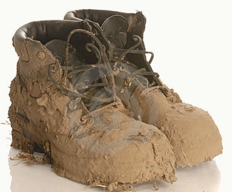
 Export Event